River Ant – Dilham to Irstead
The Ant rises near North Walsham and is navigable from Dilham to Ant Mouth where it flows into the Bure a distance of 8 ¾ miles.

Dilham
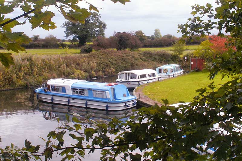
The head of navigation is Brick Kiln Bridge where there are moorings for a limited number of boats. The Cross Keys Public House is a five minute walk from Dilham Staithe. There is a public telephone and post box in the village.
A mile downstream along Tylers Cut is Wayford Bridge. To the north is the North Walsham & Dilham Canal, suitable only for unpowered craft. Wayford bridge is low, 7ft headroom at average high water.
Wayford Bridge
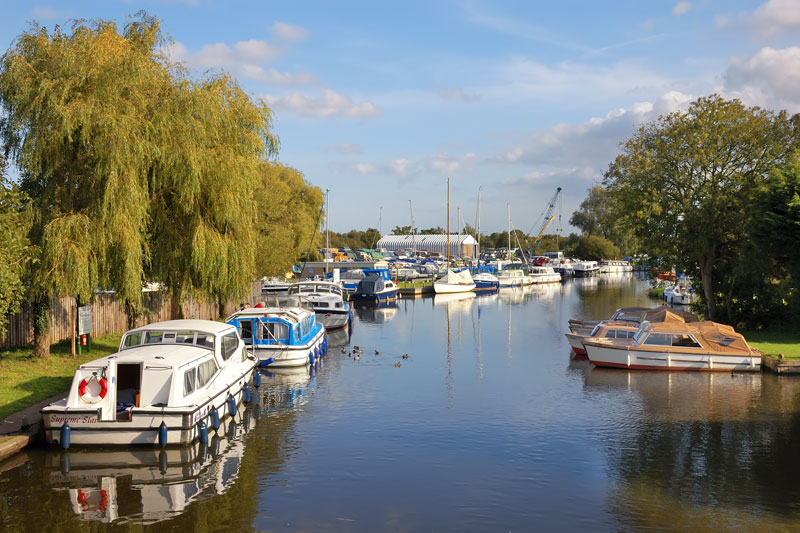
Wayford Bridge is a small hamlet next to the busy A149. Mooring is available here on the right bank opposite some houseboats, and at the staithe downstream of the bridge.
Under the bridge immediatly on the left is Wayford Bridge Staithe. A little further downstream on the left is a large boatyard. The river maintains a fairly straight course until it reaches Hunsett Mill and cottage, it then turns in a southerly direction. On the left just downstream is the entrance to Stalham Dyke, carry straight on if you wish to journey down the Ant.
A short way along Stalham Dyke is a fork, keep left for Stalham and right for Sutton. A number of dykes lead off the left bank as Stalham is approaced. Richardsons boatyard is on the right hand side, go straight ahead and round a left hand bend to reach Stalham Staithe which is at the head of the dyke.
Stalham
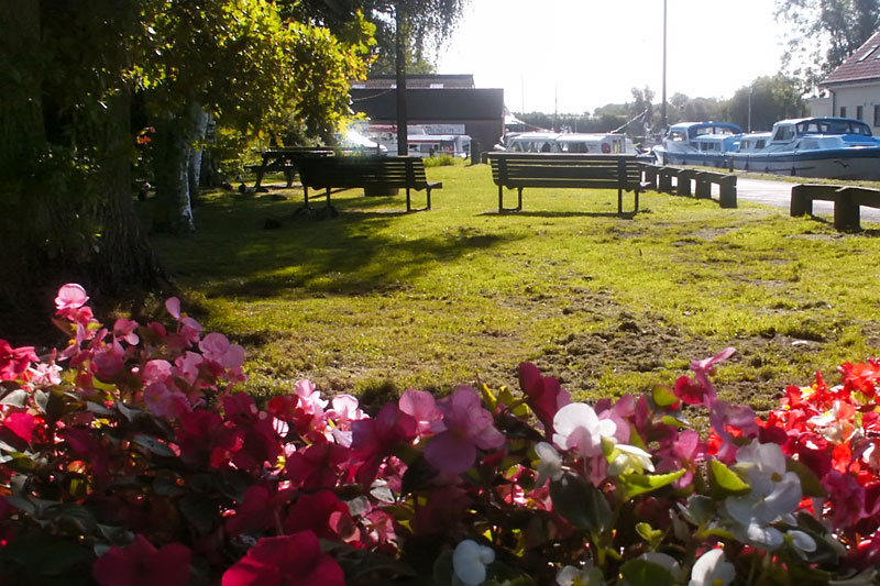
The Georgian market town of Stalham is separated by the main A149 road. The holiday maker is well catered for by the numerous shops and award winning pubs, all about 10 minutes walk from Stalham Staithe. Various projects have taken place in and around Stalham over the last few years, one of them to landscape the green on the staithe. The town has a large Tesco store a short walk from the staithe.
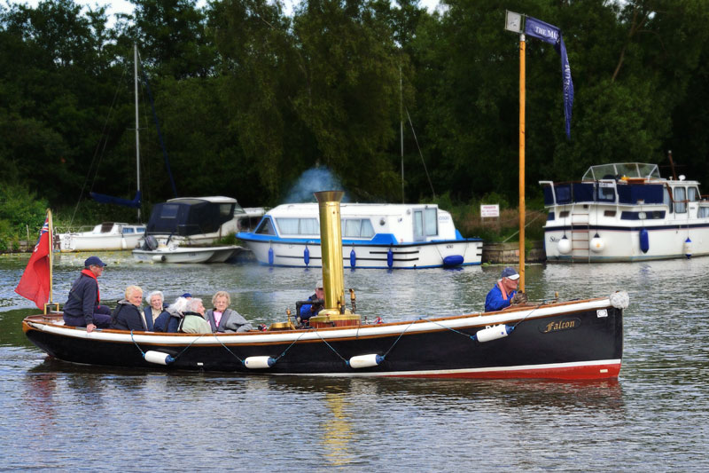
Just around the corner form the staithe is The Museum of the Broads. It is the only museum in the UK to chronicle man’s effect upon the Broadland environment. Among the exhibits within the museum is the steam launch Falcon. Trips run midweek during the season, for more information call 01692 581681. Also at the museum is a feature on one of Broadlands greatest pests –
Richardsons Cruisers have visitors moorings if the small public staithe is full.
Sutton Broad has silted up over the years but is still an attractive stretch of water, it leads to Sutton Dyke and Sutton Staithe.
Sutton
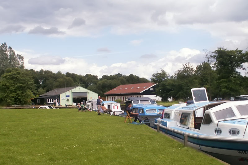
Sutton Staithe like at Stalham is cut off from the village by the A149, but lucky enough the Sutton Staithe Hotel is adjacent to it. Norfolk’s tallest mill built in 1789 –
Back on the River Ant continue along the river as it gently meanders through trees towards Barton Broad. On the right just before Barton Broad is the turning for Barton Turf and Barton Turf Staithe.
Barton Turf
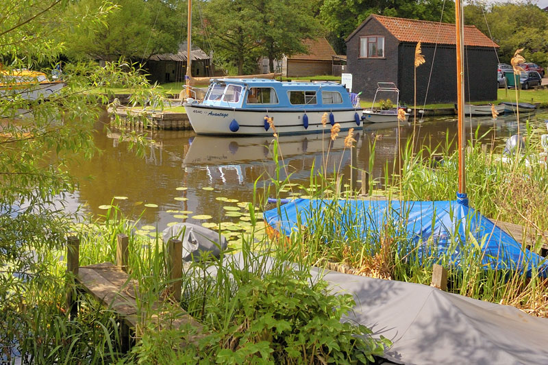
At Barton Turf there are moorings on the right bank at Paddy’s Lane. These are linked to the village by a boarded walk. The Broads Authority have failed to renew the lease at Barton Turf Staithe. It closed as a BA mooring on 1st June 2022. The water point and refuse disposal is currently still available. Cox Brothers boatyard is adjacent to the staithe. The ‘clink clink’ of the yacht masts and the setting sun over the village make Paddy’s Lane an idyllic overnight mooring spot. The village itself is a mixture of old and new properties, and has a large slightly sunken village green with adjacent public telephone, the shop has long since closed and there is no pub.
Back on the main river the Ant now enters Barton Broad. Keep to the marked channel as the broad is very shallow at the edges.
Barton Broad
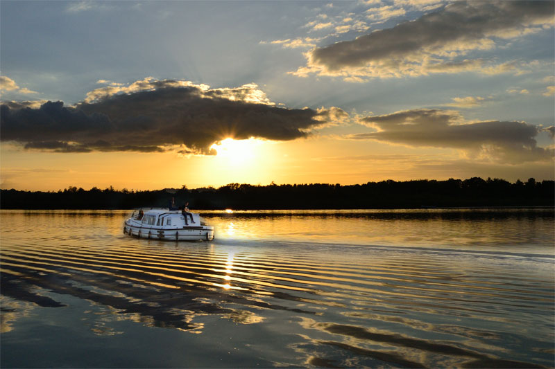
Barton Broad is the second largest broad covering an area of 164 acres and is owned by the Norfolk Wildlife Trust, it is a nature reserve of some 350 acres, it’s best seen by boat but a boarded walk mentioned below allows access for everyone.
Barton Broad is a popular broad for both cruising and sailing, regattas are held throughout the year, including for the more experienced skipper, the Barton Regatta held in October.
Pleasure Hill Island has been restored and planted with reeds to protect the bank, a landing point will soon be available for non-
Those wishing to continue down the Ant should head south east, passing to the left of Pleasure Hill Island. The exit off Barton Broad is not easy to spot, look out for the signs. The river narrows as Irstead is approached.
Keep to the right going across the broad for Lyme Kiln Dyke and Neatishead. On the left just before the entrance to the dyke is Gay’s Staithe.
Gay’s Staithe
The staithe has space for a good number of boats. From here you can walk to Heron’s Carr and join the Barton Broad Boardwalk to the viewing platform overlooking Barton Broad.
Lyme Kiln Dyke is narrow and in places there is only just enough room for boats to pass. Neatishead Staithe is in a small dyke on the left with room for a good number of boats, water, litter receptacles and recycling facilities are available. If the staithe is full an area reserved for turning is just past the dyke.
Neatishead

The Georgian village is well worth a visit and is only a few minutes walk from Neatishead Staithe. At the village you will find the White House Stores, the shop is owned and run by the local community and has recently celebrated (March 2018) it’s fifth year of trading. The White Horse Inn has a good reputation and now brews its own beer on the premises.
