Barton Turf
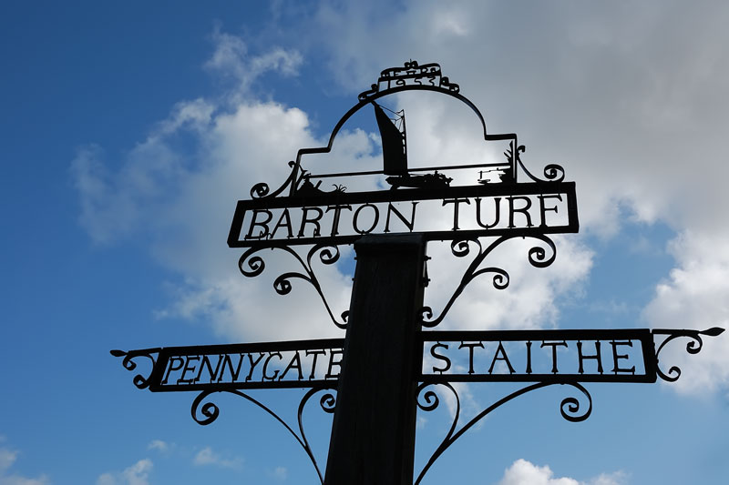
Barton Turf is a quiet village set on the northwestern edge of Barton Broad, 1¾ miles from Stalham by boat. It’s a pretty village with a mix of architectural styles. Coronation Cottages, a row of four quirky cottages built during the year of the Queen’s coronation are of interest. The village sign pictured above stands at the junction of Staithe Road and Hall Road. It’s situated beside the village green and pond and features a wherry under sail. The church of St Michael and All Angels is a little over a mile away. The rood screens are particularly impressive as are the stained glass windows. It’s a pleasant walk along quiet lanes and well worth a visit.
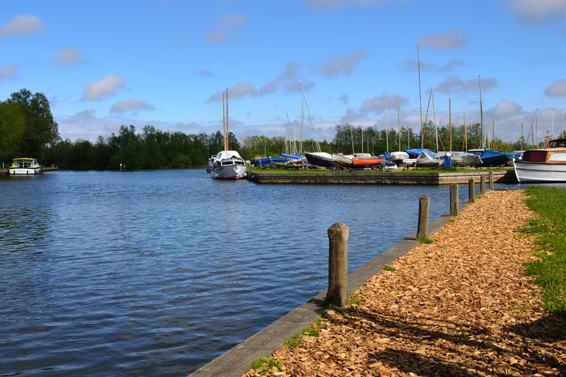
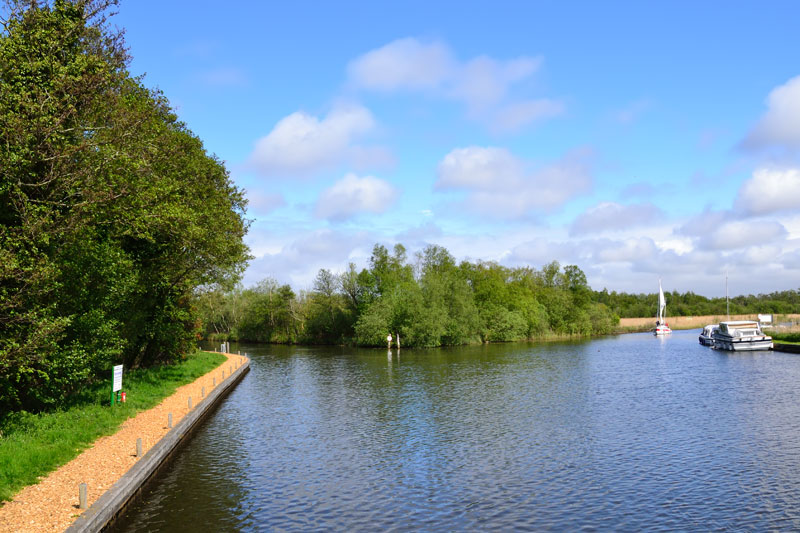
Next to Barton Turf Staithe (closed as of June 2022) is Cox’s Boatyard, a large private boatyard and marina offering all the usual services. There are no facilities at the boatyard for hire craft. Behind the staithe is Barton Turf Adventure Centre, a family run sailing school open to all.
If you enjoy the peace and quiet of the Broads you will enjoy mooring here. There is very little noise other than the gentle chime from the sailboats in the adjacent boatyard. There are no pubs or shops but The White Horse Inn at Neatishead is a 40 minute walk away. Water and refuse disposal is available at Barton Turf Staithe.
Barton Turf Staithe
The parish staithe at Barton Turf was a delightful spot to moor, for lunch or overnight. There is room for two to three boats in the dyke next to the Black Shed and one by the water point. Please note this mooring is no longer available as of June 2022 as the Broads Authority failed to renew the lease.
The Black Shed is a two-storey storehouse now used for meetings by the parish council. Wherries would at one time have moored here to load and unload their cargoes. Inside is a display about its history, together with that of the staithe and the ‘Hole in the Wall’.
Behind the storehouse is Staithe House. The house was one of the last beerhouses in the area. It went by the name of ‘Hole in the Wall’ or ‘Eel’s Foot’. The beer was not to be drunk on the premises, this was an off-licence. The men sat on a bench outside to enjoy their beer, which they obtained through a wicket (opening window). It remained open until 1966, some of you may remember it.
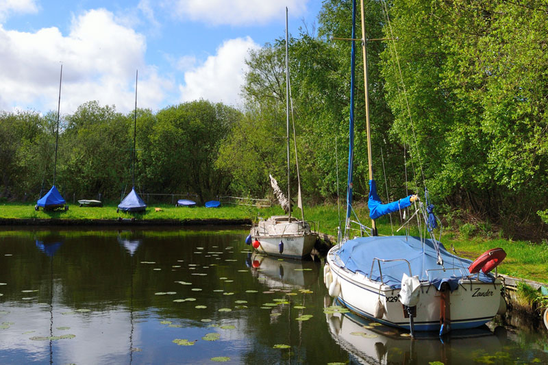
Paddy’s Lane Moorings
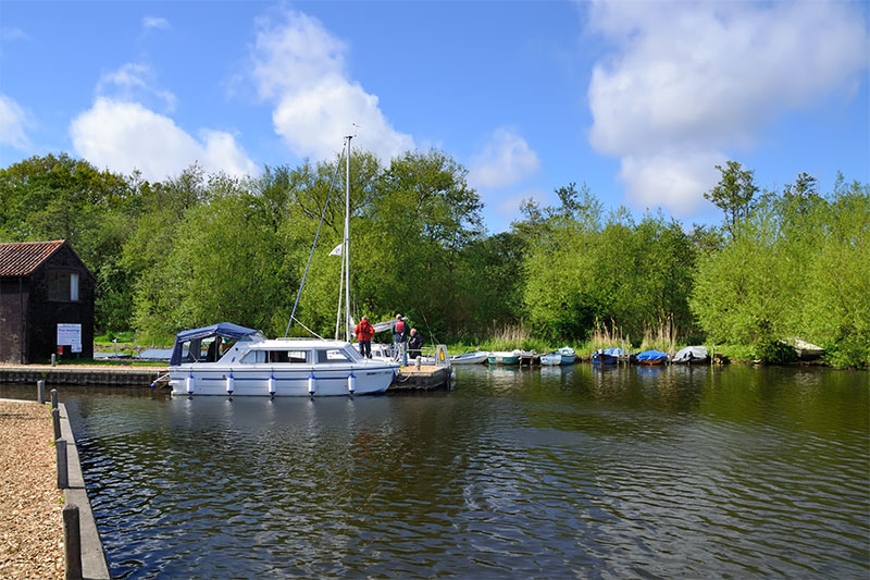
Paddy’s Lane got it’s name from the Irish navigators who worked on the Broads. They cut this channel and also diverted the River Ant to flow through Barton Broad. This was for navigation purposes so the wherries could gain access to the local staithes. There are moorings for up to 15 boats, the spaces nearest to Barton Turf offer the best views. The moorings opposite the ‘Heater’ where the dyke is narrow can feel a little hemmed in.
Paddy’s Lane to Barton Turf Footpath
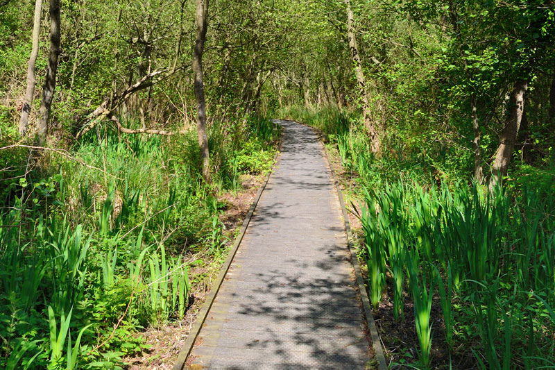
A footpath leads from Paddy’s Lane along a boarded walkway through carr woodland to Barton Turf. At the end of the boardwalk the path continues around a dyke.
From here the footpath continues through a dingy park to Barton Turf Staithe. It’s a pleasant walk of only a few minutes but at times it may be impassable due to floods.
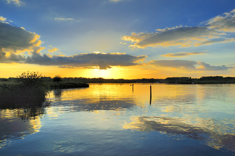
Barton Broad
Barton is the second largest Broad covering an area of 170 acres. The possibility of the broad being artificial was first recorded by the geologist Samual Woodward in 1834. Amazingly the subject was not explored again until the 1940’s, over a 100 years later! The Norfolk Wildlife Trust purchased the Broad in 1945. It is a nature reserve of some 350 acres.
Not so long ago Barton Broad, was dying, choked by years of pollution and agricultural run-off. This resulted in the growth of algae. These algae blooms starved water plants of sunlight, and turned the water cloudy. Clear Water 2000, which cost over £3million, began in 1995, with the dredging of 300,000 cubic metres of mud. The final result was crystal clear water. Since then the broad has come back to life with fish and aquatic plants, herons, kingfishers and even otters returning.
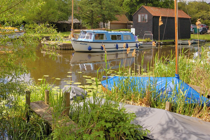
On the east side of the broad is the little known Wood End Staithe. There is a small parish staithe here (25 ft approx), non-parishioners may moor for up to 24 hours. The rest of the staithe is private. On the west side is Gay’s Staithe, further on down Limekiln Dyke is Neatishead Staithe. Both staithe’s have space for about 12 boats. Barton Turf is in the northwestern corner. All except Wood End have water points.
The island on the broad is Pleasure Hill Island. Stories tell of a bandstand on the island, picnics and even dances taking place there! The island almost disappeared but was rebuilt by the Broads Authority. There was talk of a landing point for small craft but this has not yet materialised. Dead Man’s Hole is the name of the narrow channel on the east side of the island. Reasons for the name are few. One suggestion is that it could of been a prehistoric burial ground, disturbed when the area was dug for peat.
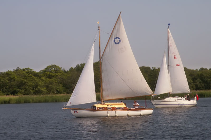
Barton is a popular broad for both cruising and sailing. Regattas held throughout the year, include the Barton Charter Yacht Regatta. This is a hire boat sailing regatta held in October each year. It has proved popular over many years with over 30 yachts taking part.
The Norfolk Punt Club, formed in 1926 has it’s base on Barton Broad. It has a floating clubhouse and is the original home of the Norfolk Punt. The club holds it’s regatta in August in collaboration with Barton Broad Open Regatta.
Barton Broad Boardwalk

At one time Barton Broad was only accessible by boat. Now there is a boarded walk leading to a viewing platform overlooking the broad. The nearest mooring is Gay’s Staithe but it’s only a short walk from Neatishead. The boardwalk is wheelchair accessible and there is a car park for blue badge holders.
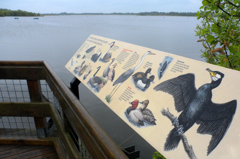
The boardwalk leads from Irstead Road through Heron’s Carr to the viewing platform. Benches along the boardwalk allow the visitor to sit and enjoy the tranquility. Information boards along the route with Braille signs explain what you may see or hear. The viewing platform looks out across Turkey Broad and down the full length of Barton Broad. Don’t forget to sign the visitor book before heading back.