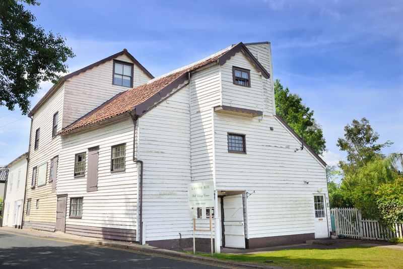
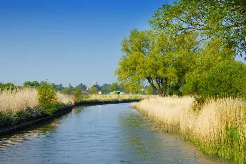
The River Chet is navigable for 3 ½ enchanting miles. The old mill over the river marks the boundary between Loddon and Chedgrave and is the start of navigation. The river is narrow in places, wooded at first, then as it nears Hardley Cross it becomes more canal like, with extensive grazing marshes and big skies.

Loddon and Chedgrave
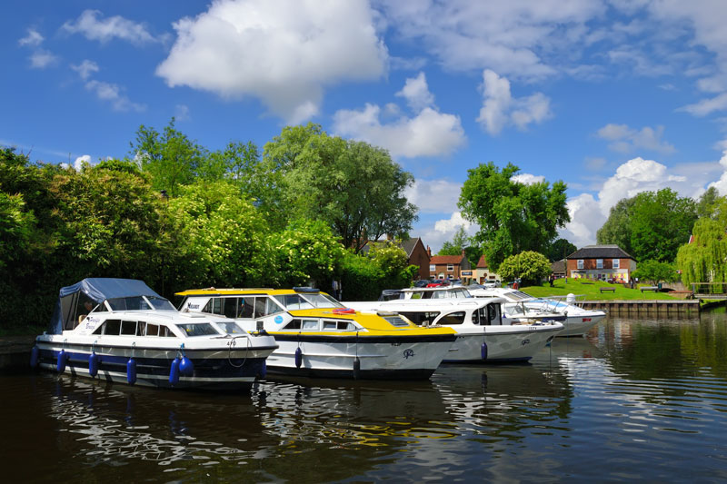
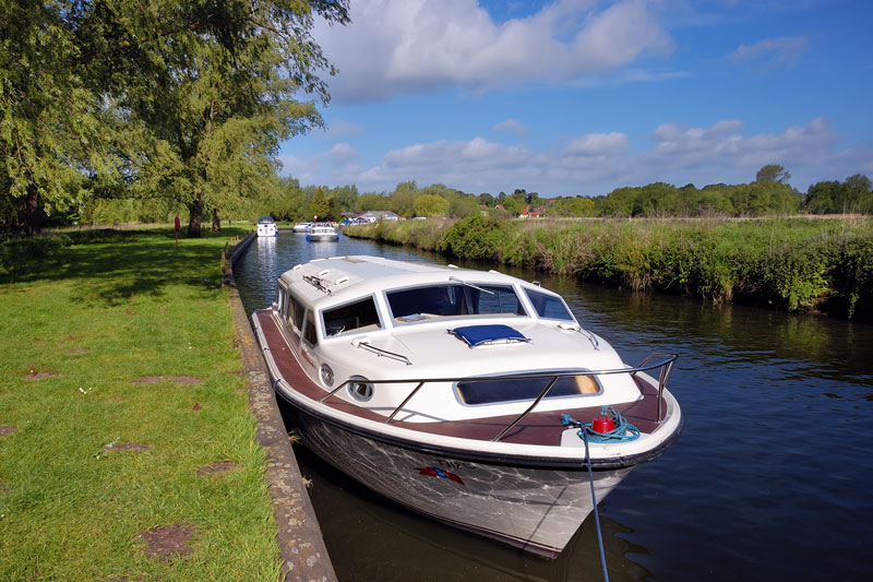
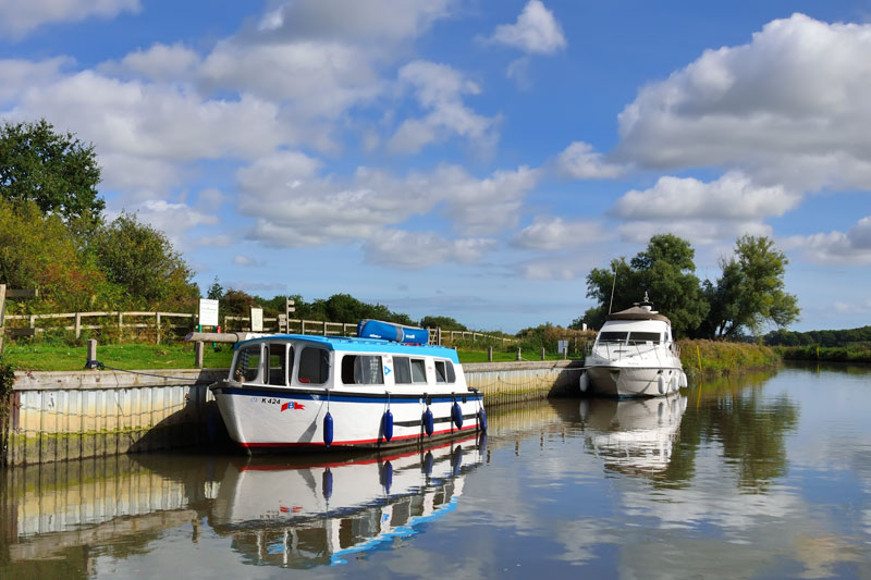
Loddon is an attractive market town with many splendid Georgian houses along its main street. The fine Church of the Holy Trinity stands high over the village and surrounding countryside. At the head of the river the tree lined public staithe has good moorings for a number of boats of all sizes. Although Loddon has the feel of being many miles from Yarmouth, the rise and fall of the tide can be as much as 2 ½ feet, leave plenty of slack in your mooring ropes if staying overnight. Mooring is stern-
Across the road from the staithe is Bridge Stores and Rosy Lee’s Tearoom. A short walk up the main street into Loddon is a Co-
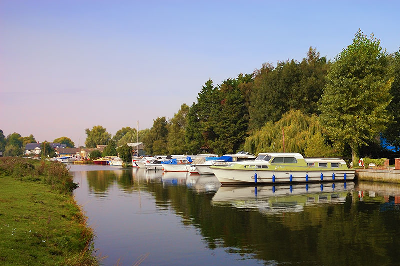
Informal moorings are discouraged due to the narrowness of the channel. There is a 3 MPH limit past the boatyards at Chedgrave and all along this section until after Chedgrave Common. More moorings are available a little way down the river at Pyes Mill Picnic Site and at Chedgrave Common.
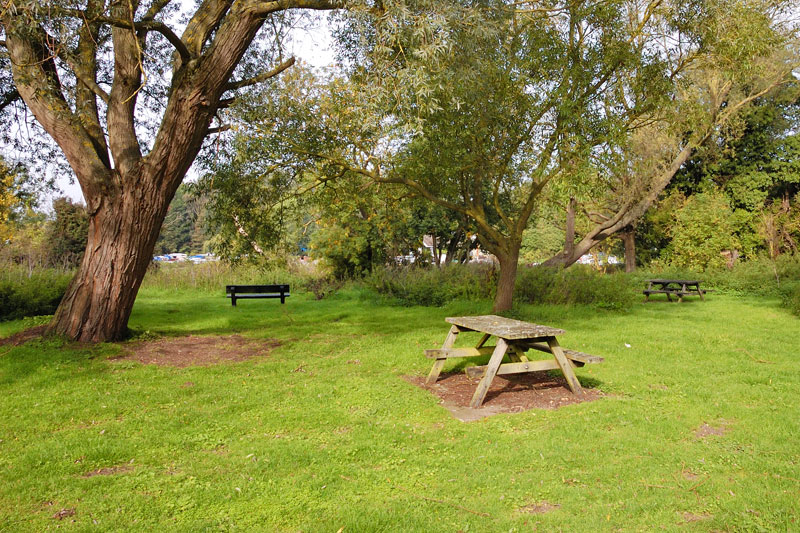
Pyes Mill
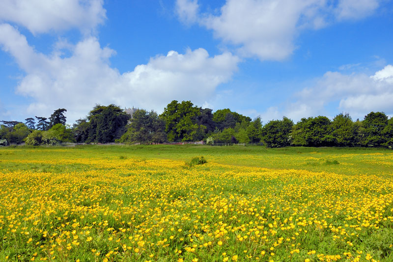
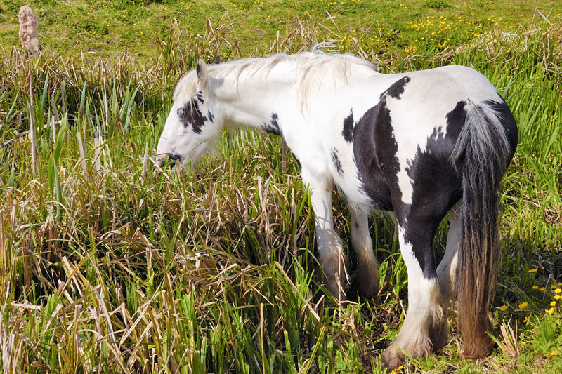
Pyes Mill is a lovely spot to moor of an evening, Loddon being just a short walk away across the grazing marshes. In late spring the marshes are covered in buttercups, along with the cattle there are usually some ponies grazing too. Should you wish to return by a different path, a map of the footpaths can be found at the car park in front of the church. On the opposite bank is Gale Cruisers Riverside Caravan Park with views up and down the Chet.
Chedgrave Common
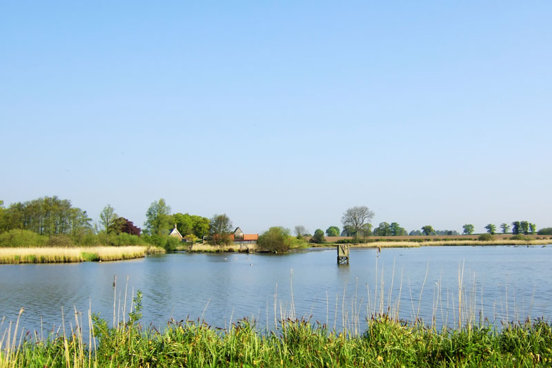
At Chedgrave Common on the left bank are moorings for about three boats. The footpath, part of the Wherryman’s Way between Hardley Flood and Hardley Cross is now closed, believed to be abandoned. An alternative route is available, please check signs for the new route. Hardley Flood is an un-
The River Chet flows gently passed Hardley Flood. At first just reed beds can be seen, further along shallow lagoons are visible, at low tide the area almost dries out, ideal for the wading birds. Overflow channels give and indication of the state of the tide.
After Hardley Flood the river winds through wooded countryside, care is needed as there are many bends and the river is narrow.
As the river nears its mouth with the Yare the scenery changes, the river becomes more open with extensive grazing marshes, with views North to Cantley and south towards Reedham. Flood alleviation improvement works began here in 2005 and were completed in 2007. Posts mark the channel but stay well clear of the banks. Hardley Cross marks the mouth of the Chet –