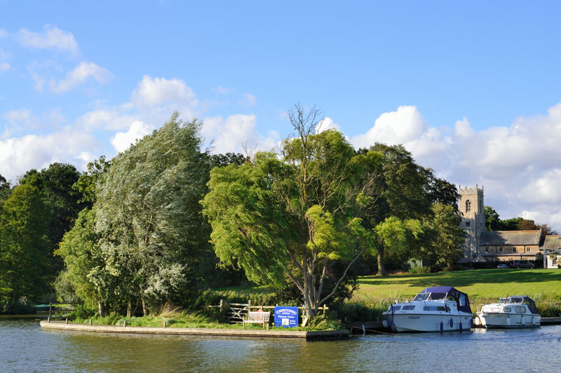
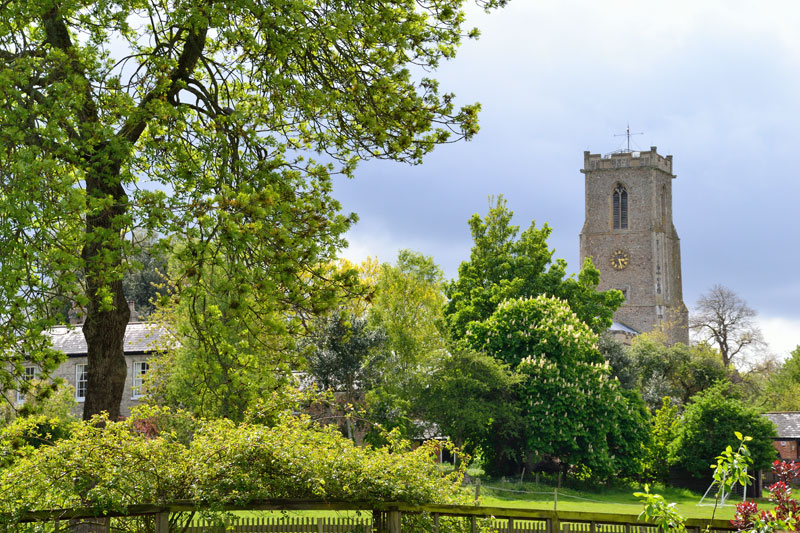
The river continues on its way through the Bure Marshes Nature Reserve. Set amongst trees on the left bank is the 13th to 14th century church of St Benedicts, moorings are available at St Benedicts Church Staithe, the adjacent Vicarage Dyke is private. The church tower over to the right is St Helen’s at Ranworth.

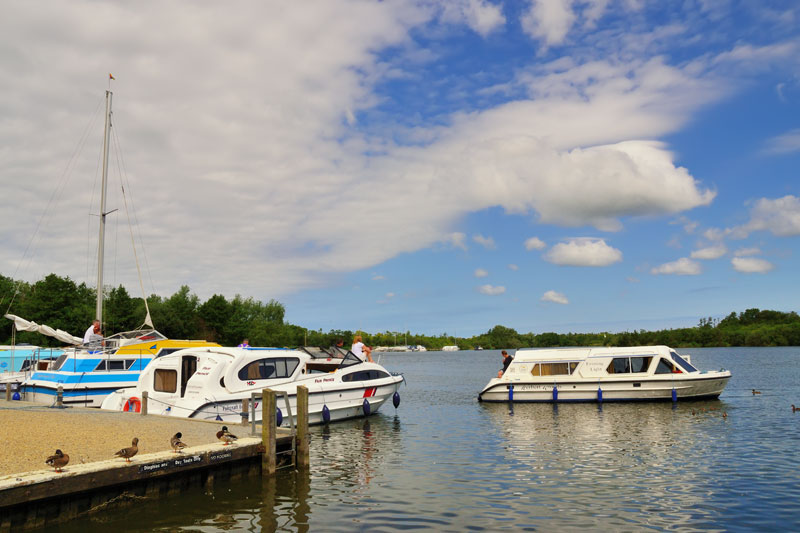
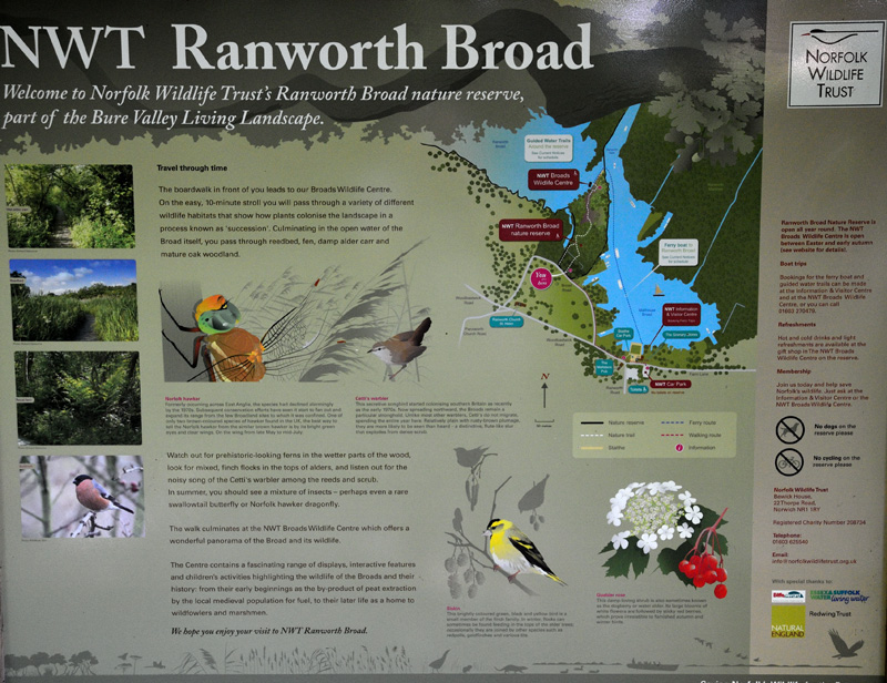
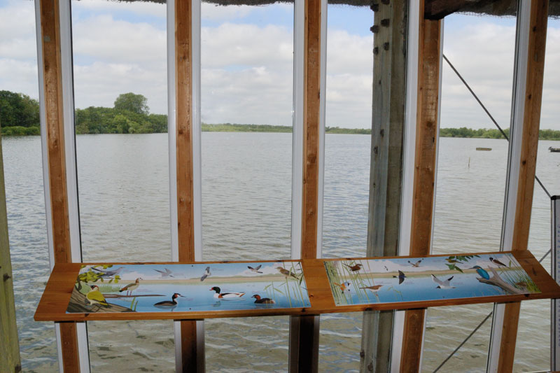
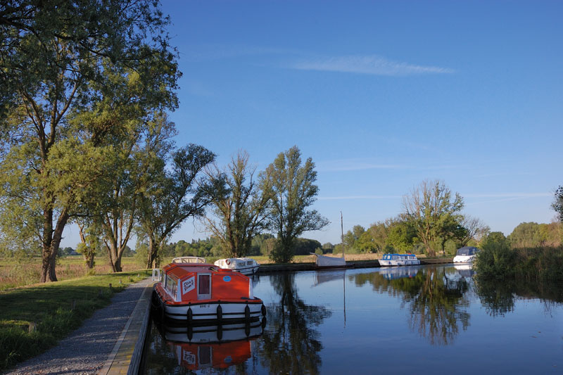
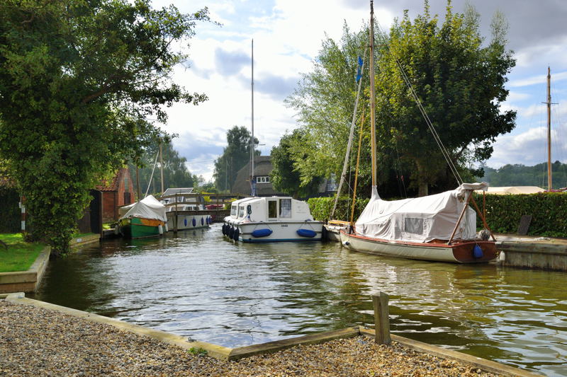
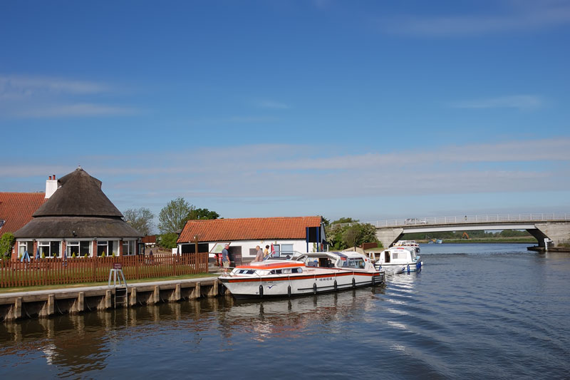
The entrance to Ranworth Dyke is ¾ mile downstream. The dyke leads into Malthouse and Ranworth Broads the latter is closed to navigation. A chain lies across the entrance to Ranworth Broad, and just beyond, the thatched roof of the Broads Wildlife Centre. Here you will find an exhibition on Broadland and a viewing gallery looking out over Ranworth Broad. To the left is Malthouse Broad and Ranworth. The Ranworth Island moorings are on the left (fee), there is no access to Ranworth from here. Ranworth staithe is across Malthouse Broad, it is usually very busy, boats often moor by mud weight to await a free space.
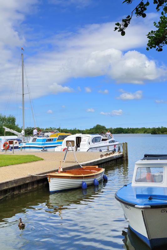
Malthouse Broad and Ranworth
The Island Moorings are on the left on entering Malthouse Broad, here stern-
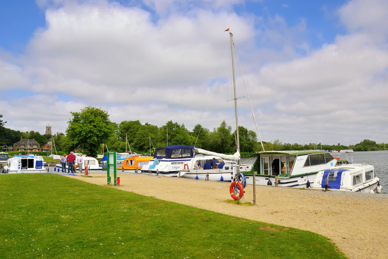
At Ranworth Staithe (Fee) mooring is stern-on and can be quite difficult when the wind is blowing off shore. A small dyke has been reserved for day boats and is where the ferry ‘Helen’ departs for the Wildlife Centre. Fresh water and electric hook-ups are available at the staithe. A new wheelchair friendly footpath has been laid to the moorings recently which will improve visitor access.
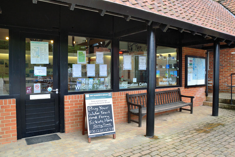
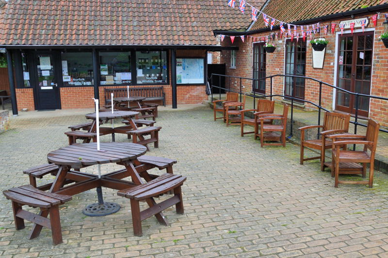
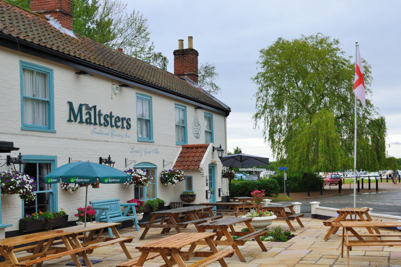
At the back of the staithe is the Norfolk Wildlife Trust’s Information Centre and next door at the Malthouses is the Granary Store and Coffee Shop. Behind the car park is the Maltsters Pub and Restaurant.
To get to the wildlife centre turn right out of the staithe and then right again along Broad Road. At the entrance is an information point. Follow the boarded walk through Carr woodland to the Norfolk Wildlife Trust’s Wildlife Centre overlooking Ranworth Broad.
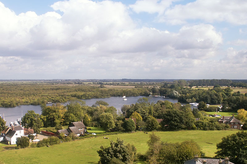
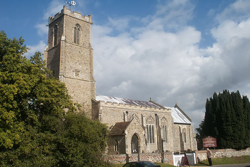
Further up the road is St Helen’s church where you can climb the tower and be rewarded with extensive views over Malthouse Broad. Check out the weather vane above you but mind your head.
The River Ant flows into the Bure a mile below Ranworth Dyke. The dyke on the left just before the Ant is Horning Hall Dyke.
River Ant – Irstead to Ant Mouth
Moorings are available downstream of Ant Mouth near St Benet’s Abbey.
On the right Fleet Dyke leads to South Walsham Broad. Look out for yachts heading for South Walsham Broad as you navigate this section.
Fleet Dyke
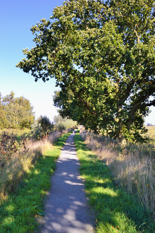
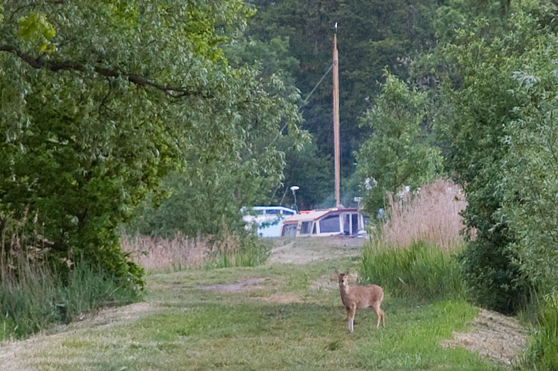
The dyke is a mile long with several good places to moor. Unlike other dykes, Fleet Dyke meanders around the marshes. This is because it is part of the old course of the River Bure. The first of the formal moorings on Fleet Dyke is on one of these meanders. The path along Fleet Dyke to South Walsham Broad is a pleasant walk and if you’re lucky you may spot a Chinese water deer. The second larger section of moorings is further on just before the broad.
South Walsham Broad
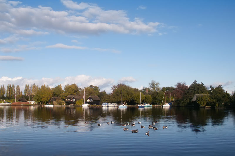
South Walsham Broad has an inner and outer broad, mooring by mud weight is permitted on the South Walsham outer broad, but the inner broad is private – for cruising only. On entering the broad from Fleet Dyke to the left is Marine Tech where water and fuel is available. On the southeastern edge is a small staithe, the water here is shallow and only suitable for unpowered craft. There are a number of attractive thatched cottages beside the broad.
From the moorings on Fleet Dyke you could walk to Fairhaven Gardens The trust has 174 acres of exotic plants, shrubs and water gardens overlooking the inner broad for you to explore.
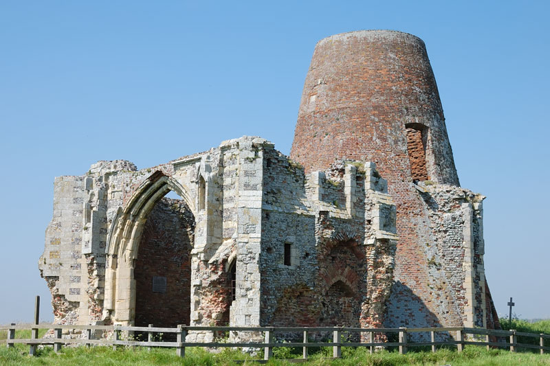
Opposite Fleet Dyke are the ruins of St Benet’s Abbey.
St Benet’s Abbey

The remains of the 11th century St Benet’s Abbey stretch a long way downstream of the main arched gatehouse, the walls can still be traced along the ground. It was, at one time, one of the most important monasteries in East Anglia, however, during the reign of Henry VIII, it was abandoned, and by 1702, although not dissolved only few buildings remained. A windmill was built into the gatehouse over 200 years ago and is now itself a ruin.
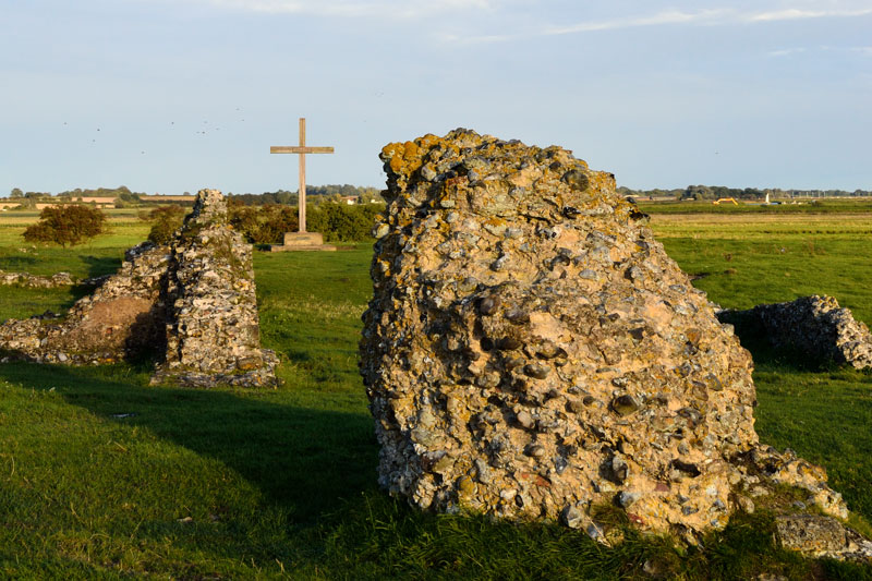
Religious services are held here once a year in august. The oak cross marks the original site of the high alter. The abbey recently underwent restoration led by Norfolk Archaeological Trust supported by the Broads Authority.
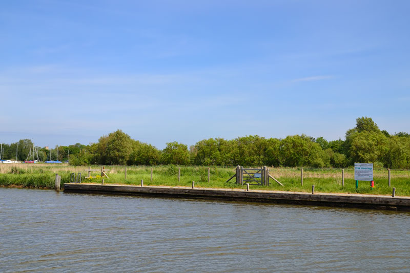
Keep to the right of the marked channel until passed the Abbey. From here to Acle the Bure is very wide with flat fenland on either side. Informal moorings are available between here and Thurne Mouth. This stretch can be quite choppy, the tide flows fast and yachts can pick up a fair speed..
Thurne Mouth is 2 miles below the abbey, to the north two wind pumps can be seen, the white wind pump marks the entrance to Thurne Dyke.
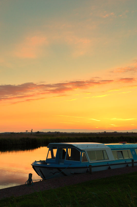
The Bure turns south towards Upton. The moorings at Thurne Mouth are closed. A new 40 m section of Broads Authority moorings is available at Boundary Farm. These moorings catch the late evening sun and are an ideal spot to capture the setting sun.
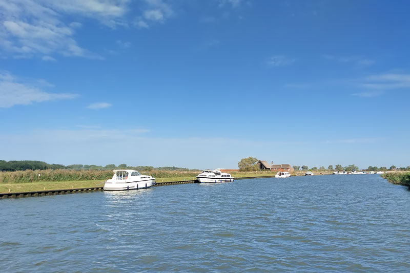
1½ miles below Thurne Mouth is Upton Dyke
Upton Dyke
The entrance to Upton dyke is on the right. It can be shallow at low tide and tricky to navigate between the lines of moored yachts. At the head of the dyke is Eastwood Whelpton boatyard, the village. The White Horse pub is about a 20 minute walk. I hear their Fish & Chips nights on a Friday are very good.
Acle Bridge is 1 ¼ miles below Upton Dyke.
Acle Bridge

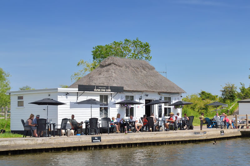
On the left bank are the free Broads Authority 24 hour moorings. Dunes River Café sadly closed in early 2025. There may be a pop-up café opening on the site later in the season. There are also proposals for Richardsons to redevelop the old Horizon Yard.
Mooring is also available on the other side of Acle Bridge for patrons of the Bridge Inn. Water and pump-out is available at Bridge Boats. The village of Acle is a mile away, it has a railway station with regular trains into Great Yarmouth, good pubs, a Starbucks and a range of stores.
Mill House Farm moorings are on the right bank just before Acle Dyke. The moorings are free during the day, overnight moorings is £5. The river narrows after Acle Dyke and reed beds again line the banks, until Stokesby is reached.